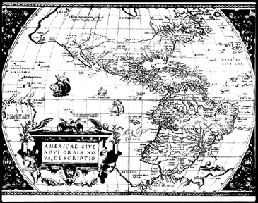
The next major developments in the quest for the perfect method of navigation were the magnetic compass and the sextant. The needle of a compass always points north, so it is always possible to know in what direction you are going. The sextant uses adjustable mirrors to measure the exact angle of the stars, moon, and sun above the horizon. However, in the early days of its use, it was only possible to determine latitude (the location on the Earth measured north or south from the equator) from the sextant observations. Sailors were still unable to determine their longitude (the location on the Earth measured east or west). This was such a serious problem that in the 17th century, the British formed a special Board of Longitude consisting of well-known scientists. This group offered £20,000, equal to about a million of today’s dollars, to anybody who could find a way to determine a ship’s longitude within 30 nautical miles.
The generous offer paid off. In 1761, a cabinetmaker named John Harrison developed a shipboard timepiece called a chronometer, which lost or gained only about one second a day – incredibly accurate for the time. For the next two centuries, sextants and chronometers were used in combination to provide latitude and longitude information.
In the early 20th century several radio-based navigation systems were developed, which were used widely during World War II. Both allied and enemy ships and airplanes used ground-based radio-navigation systems as the technology advanced.
A few ground-based radio-navigation systems are still in use today. One drawback of using radio waves generated on the ground is that you must choose between a system that is very accurate but doesn’t cover a wide area, or one that covers a wide area but is not very accurate. High-frequency radio waves (like UHF TV) can provide accurate position location but can only be picked up in a small, localized area. Lower frequency radio waves (like AM radio) can cover a larger area, but are not a good yardstick to tell you exactly where you are.
Scientists, therefore, decided that the only way to provide coverage for the entire world was to place high-frequency radio transmitters in space. A transmitter high above the Earth sending a high-frequency radio wave with a special coded signal can cover a large area and still overcome much of the "noise" encountered on the way to the ground. This is one of the main principles behind the GPS system.
Providing a full range of services from Installation to repair to maintainence. We do it all at discount prices.
Check out our store for pricing information and to purchase.
If your business is located within the Tri-State area, our team of trained technicians can install, repair or maintain your phone system. Please contact us for a quote.
Whether you're moving a phone from one office to another, installing additional lines or phones, upgrading your phone system to have Voice Mail, or anything in between, the expert installers at Convergence Communications are here to help.

For existing systems we can help with programming on all levels. If you'd like to start a new auto-attendant campaign, re-configure your call flow, add users, delete users, enforce dialing restrictions, enact account codes and more, let us help put your plan in place.
We offer convenient 1-hour and 5-hour remote support options for you and your customers. Bulk purchases of 5-hours or more are discounted.
